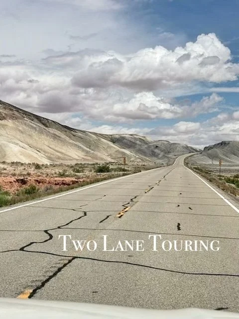
This is a view of the Eastern slope of the Sierra Nevada Mountain range as seen from the Alabama Hills. I was able to walk about 1/2 mile in the area that felt so wild. Loved this shot.

Russell Cave National Monument /
In the Southeast United States, this cave holds the oldest record of occupation by cultures of prehistoric Indians beginning about 10,000 years ago. The very large mouth of the cave led to smaller chambers and then on to over 7 miles of passages. The cave provided substantial shelter, particularly in the winter, and the mile of stream inside the cave provided year round water. The abundant nuts, berries and wildlife sustained the 30 or so families who made this their home. Digs were done here in the 1950’s when the scope of the importance of this site was recognized. Several of the objects recovered are in the small but well done museum in the Visitor Center.
The cave is located in Northeastern Alabama almost on the Tennessee line.
This was a short visit as heavy rain kept us off the single mile and a half trail. We did walk the nature trail and the path to the cave entrance. Guests are no longer permitted inside the cave nor is spelunking allowed. We were camping about 35 miles away in DeSoto State Park so this was a good half day trip. On a pretty day there is a nice picnic spot.
Cadillac’s Viewpoint: This has Moose potential but I don’t like caves. There is simply no place for magnificent antlers such as mine. Cadillac’s Elevation 1 Antler
Hot Springs National Park /
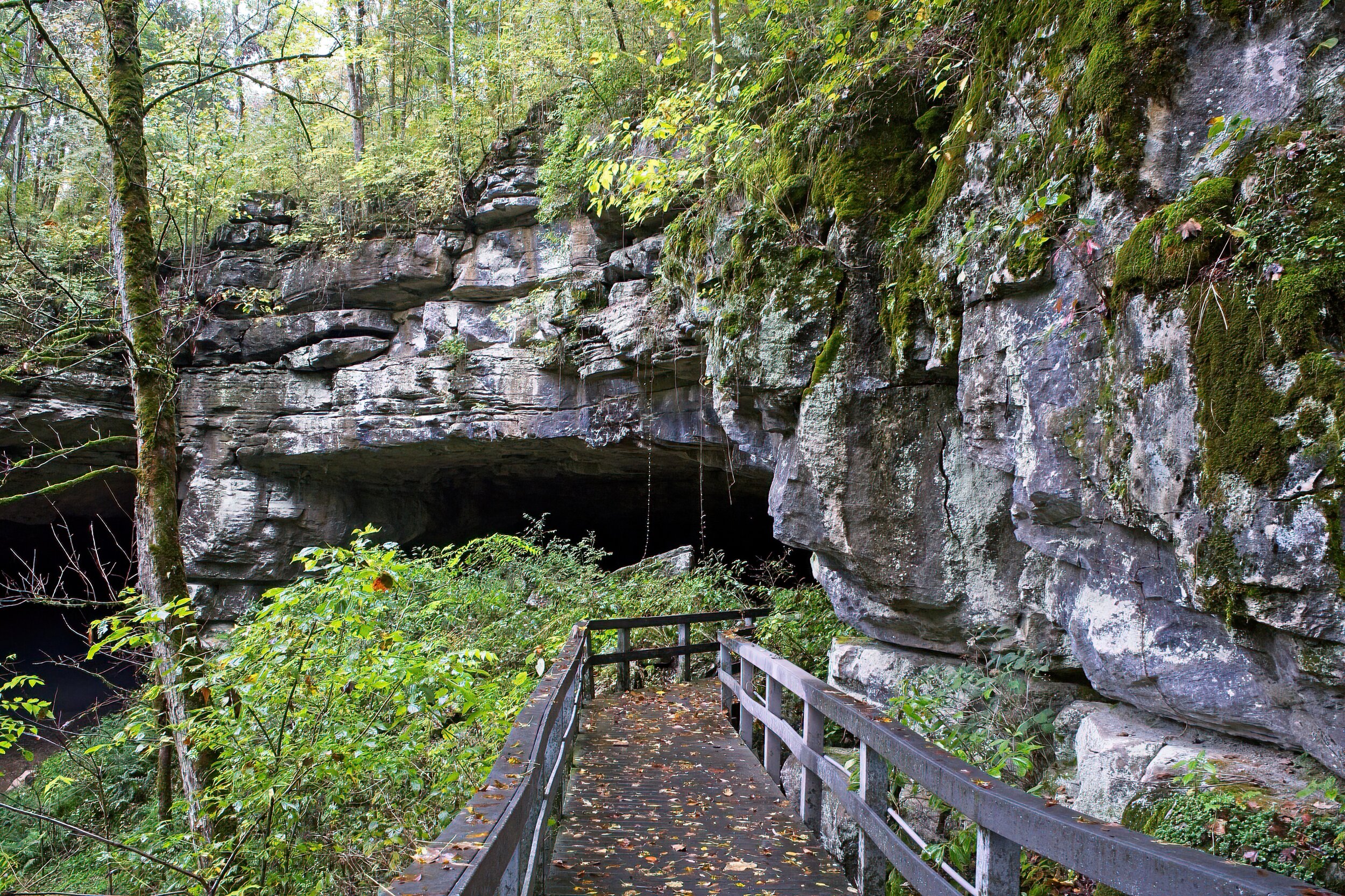
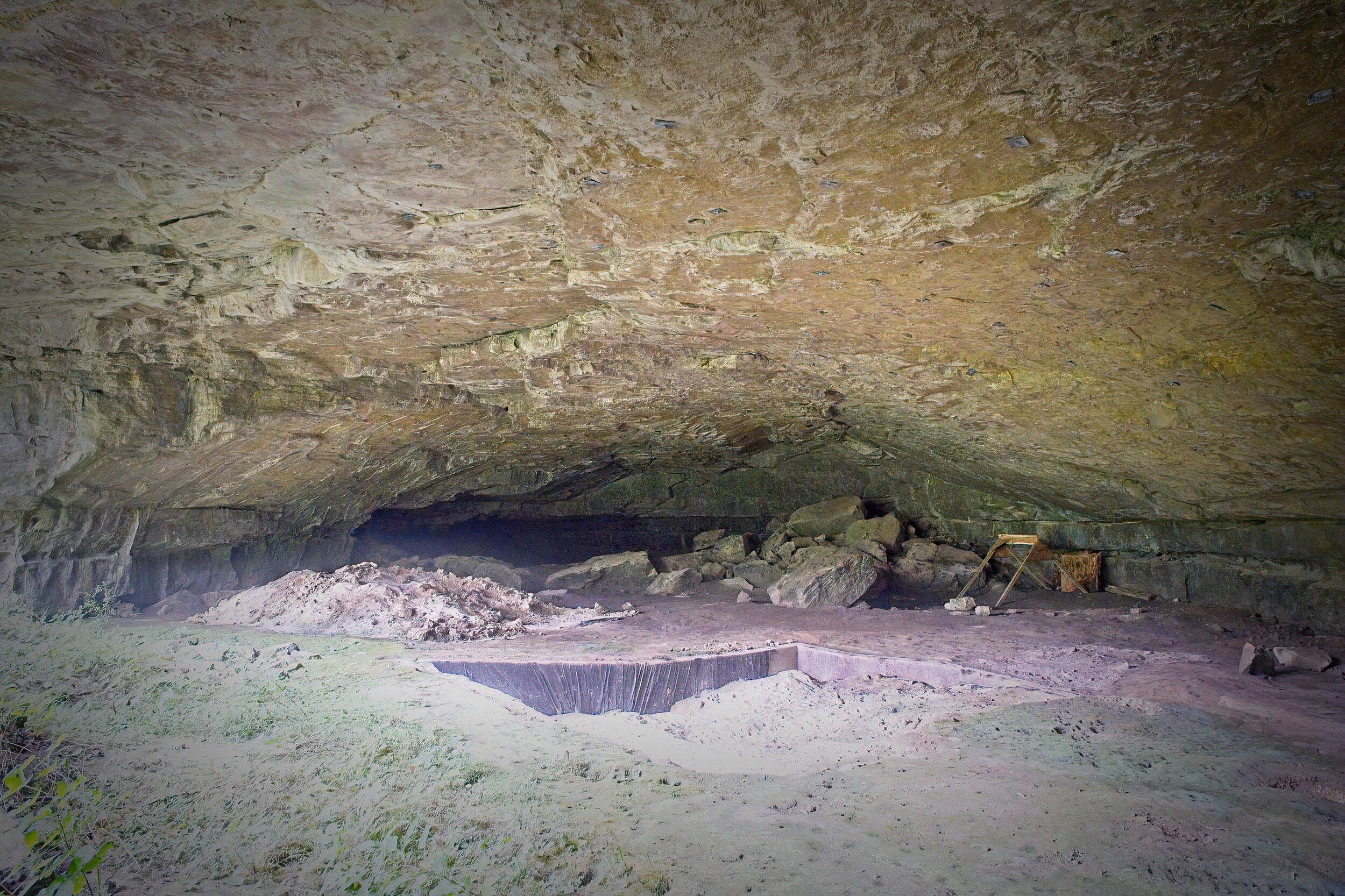
Hot Springs is one of the smallest national parks in the system and also the oldest - it was protected by the federal government in 1832 before the concept of a national park existed. The park includes two downtown bathhouses on Bathhouse Row, the Promenade, a park, a small campground, some drive accessible mountains, and about 30 miles of hiking trails. The NPS manages the hot springs regulating temperature and protecting the springs.
Lots of cool things to see and learn in the National Historic Landmark District of the town in addition to the National Park. Gangsters of the early 20th century declared the resort neutral ground where they could hang out without war between rival groups. Baseball spring training originated here about the same time.
We throughly enjoyed this area - the walking tour, park, shops and Promenade in town, the drives to West Mountain for a sunset and Hot Springs Mountain, the Gulpha Gorge, Sunset, and Goat Rock Trails. The Gulpha Gorge NP Campground was very nice - no reservations but auto check-in worked well. We needed to replace the sail switch on our furnace and received exceptional service from Livingston RV on the edge of town.
We filled water bottles at the free hot spring where the water was over 110 degrees. It was fantastic, and the coffee we made with it was absolutely the best. We had super root beer (made from the local water) floats at the Superior Bath House Brewery. We liked it so much we went back for dinner - good food and interesting historic setting. We enjoyed peanut butter and cafe latte ice cream at Scoops, better than ok but not quite a top ten contender.
Cadillac’s Viewpoint: Now this is a National Park! Nice woodlands, streams and ponds yet close to lattes (the motherlode of lattes) and ice cream. They also have INDOOR hot and steamy ponds. That you can soak in! And I have discovered an elixir called Root Beer. Spectacular with ice cream. So, how long do you think we spent in paradise? Three days! That is days not months. Three. Here. I know who sets this crazy schedule and I think his poll numbers are awful right now. Cadillac’s Elevation 5 Antlers


The Promenade

One of the few “open” hot springs so one might see what the pools were once like

Moonrise over Hot Springs. The enormous building is the military hospital


View from Goat Rock

Cadillac’s Heaven
Little Rock Central High School National Historic Site /
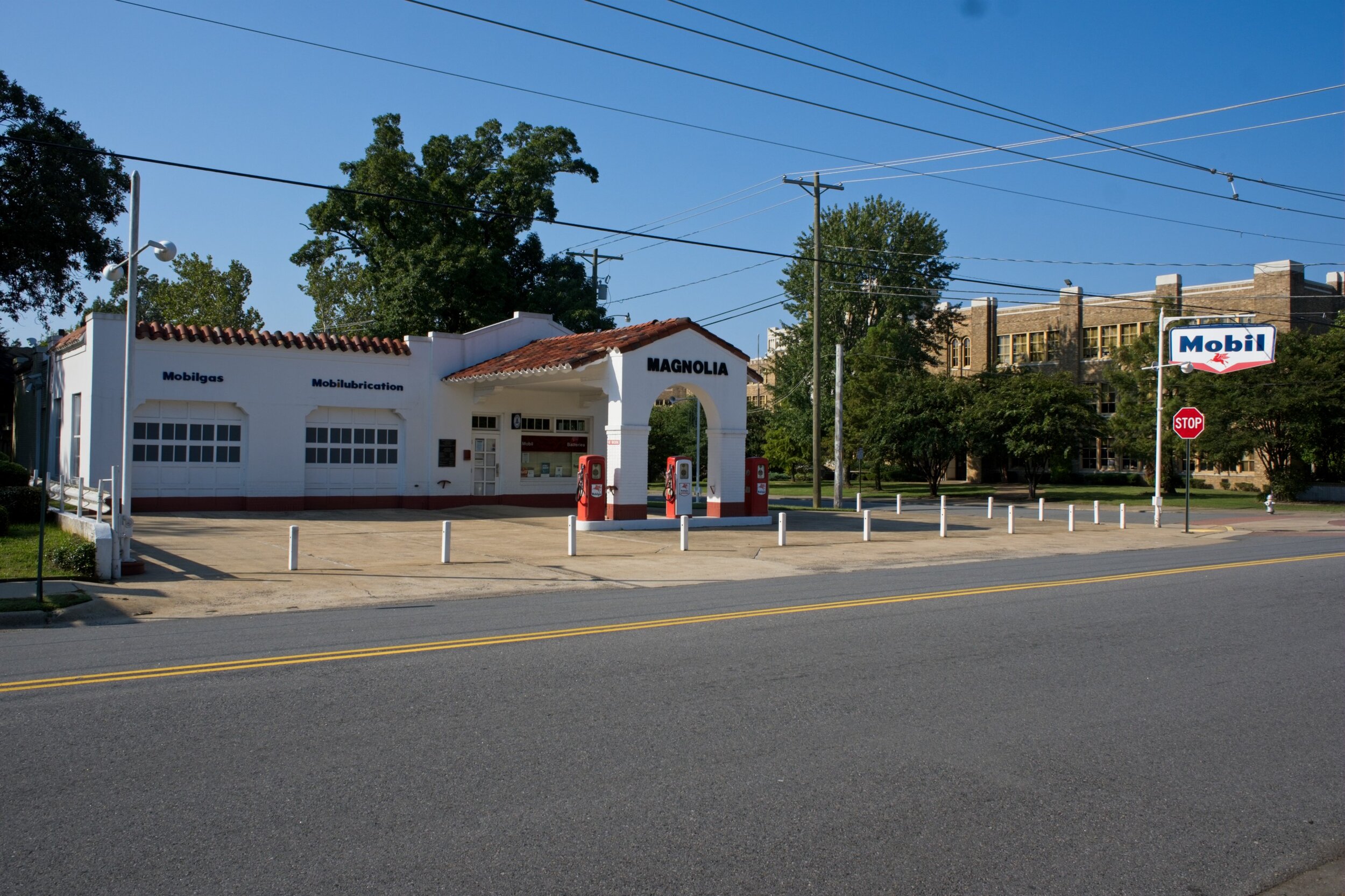
This is a very moving site which focuses on the integration of the school in 1957 by nine courageous black students and the efforts to keep them from attending. A highlight of the museum is the presentation of video from both 1957 and retrospective interviews from much later in the nine students’ lives. Through the large windows in the excellent Visitor Center, you could see both the high school and the gas station where the media were clustered.
We arrived early on a Sunday morning, a benefit for visiting park sites in larger cities to avoid the most traffic and find parking when towing a trailer. Apple or Google maps street view is a help with parking. Early arrival at the the museum was good since the limit was set at 6 visitors. The tour of the high school - still in use today - was canceled because of Covid concerns.
Cadillac’s Viewpoint: Once again, I am in favor of rights civil, natural, Moose et al. Seems to me that school is not that critical - I mean look at how successful I am with no actual schooling. I don’t really count that time at the CIA learning to cook. Of course, I am a Moose. Cadillac’s Elevation 4 Antlers


Horseshoe Bend National Military Park /
The battle that took place here on March 27th of 1814 was the last of the Creek Wars. At Horseshoe Bend in the Tallapoosa River, the Northern Red Stick warriors built a fortified log wall to protect their village. They numbered about 1000 men, and their women and children were in the village a few hundred yards away.
Andrew Jackson attacked their position first with a cannon bombardment that proved ineffective against the strong fortifications. However, he sent about 1/3 of his troops and Indian allies across the river to attack the rear through the village when the cannons were fired. Jackson then ordered a bayonet charge that breeched the wall. Caught between the two wings of the army, the Red Stick warriors began a fighting retreat toward a woodland hill but they proved no match for the soldiers at that point.
It was an overwhelming victory for Jackson. While his losses were about 200, the Red Sticks lost between 550 and 800 warriors, and the last serious threat was broken. Millions of acres of land in the South was ceded to the US and, eventually, the survivors joined the long trek on the Trail of Tears.
The park is easy to access on paved roads and rather simple to grasp the scope of the battle as most of it can be viewed from one site. You can see a line where the barricade was built, the hill where the cannon were located, and follow the entire five hour fight from beginning to end. The river flows quietly past the site of the village. We were unable to enter the VC but there is a museum inside.
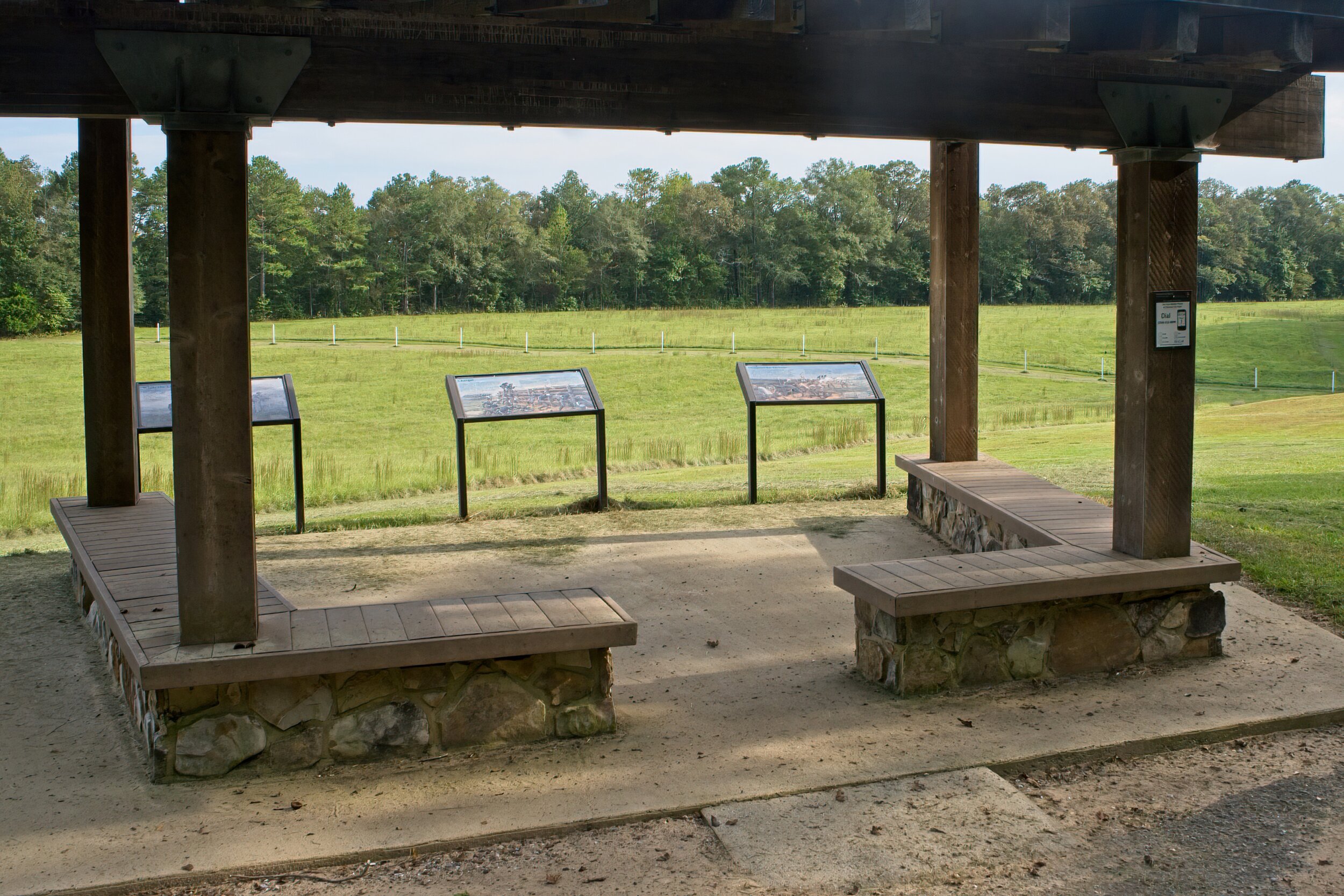
This is just below where the cannon were place and where the main body of troops began the charge. The white posts indicate the line of the fort.
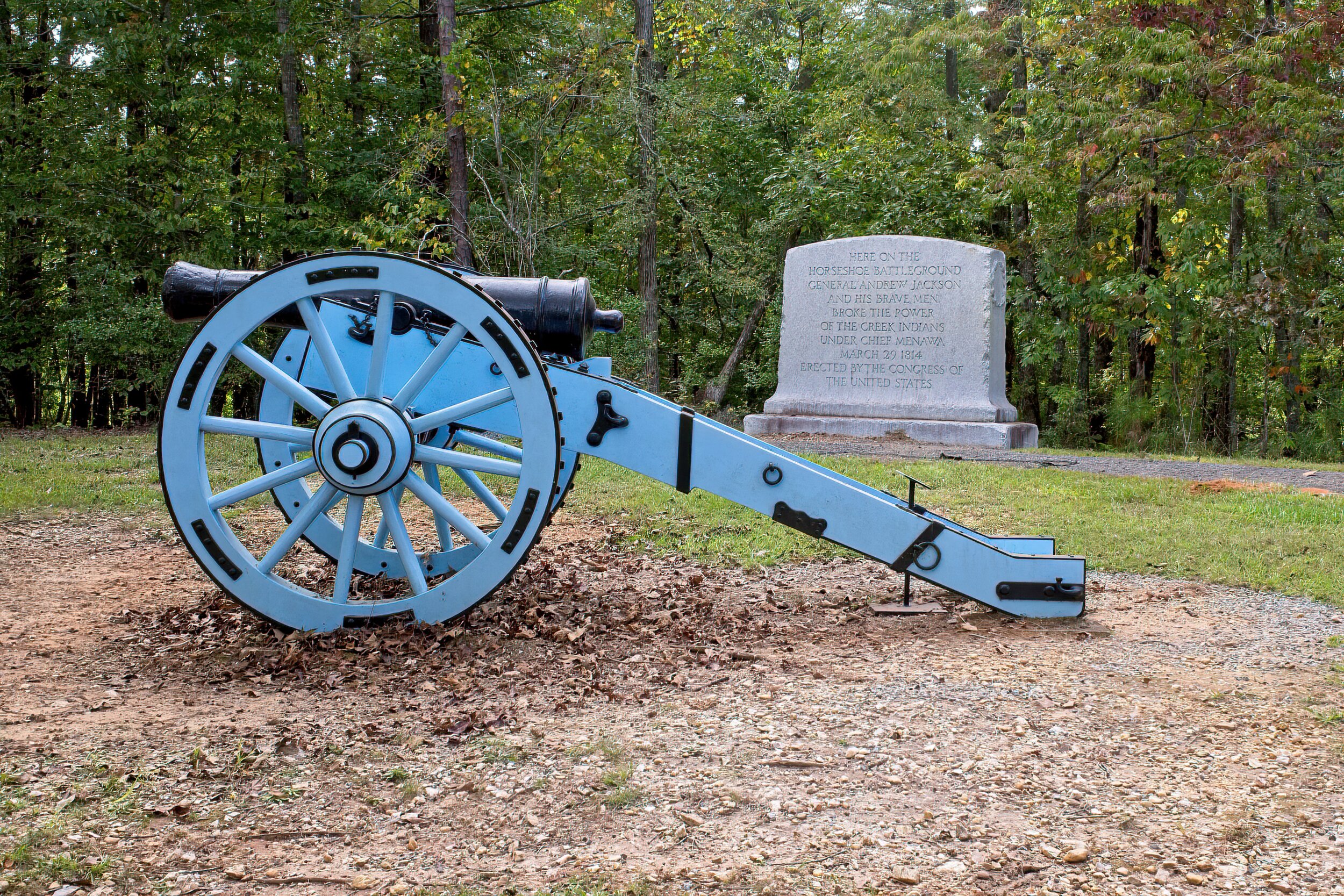

The only marked grave onto site

The Tallapoosa River
Little River Canyon National Preserve /
This park is located in the northeast section of Alabama in the foothills of the mountains at the south end of Lookout Mountain. The primary tour is a scenic road that twists and turns for 11 miles on the western edge of the canyon. There are eight overlooks with some short walks and views of the river and ridges that stretch beyond the canyon rim. The road is not open to RVs because of the many tight, blind curves. At one point, we could see other people across the way and wondered how to get where they were. Then we realized the road was so twisty that we had actually been there on the previous stop. We skipped the one longer hike due to off and on rain. Other popular activities here include swimming, rock climbing and kayaking..
We camped in the nearby DeSoto State Park, a popular place with hiking and its own famous waterfall. Nice hikes and a good place to stay in a remote and beautiful area.


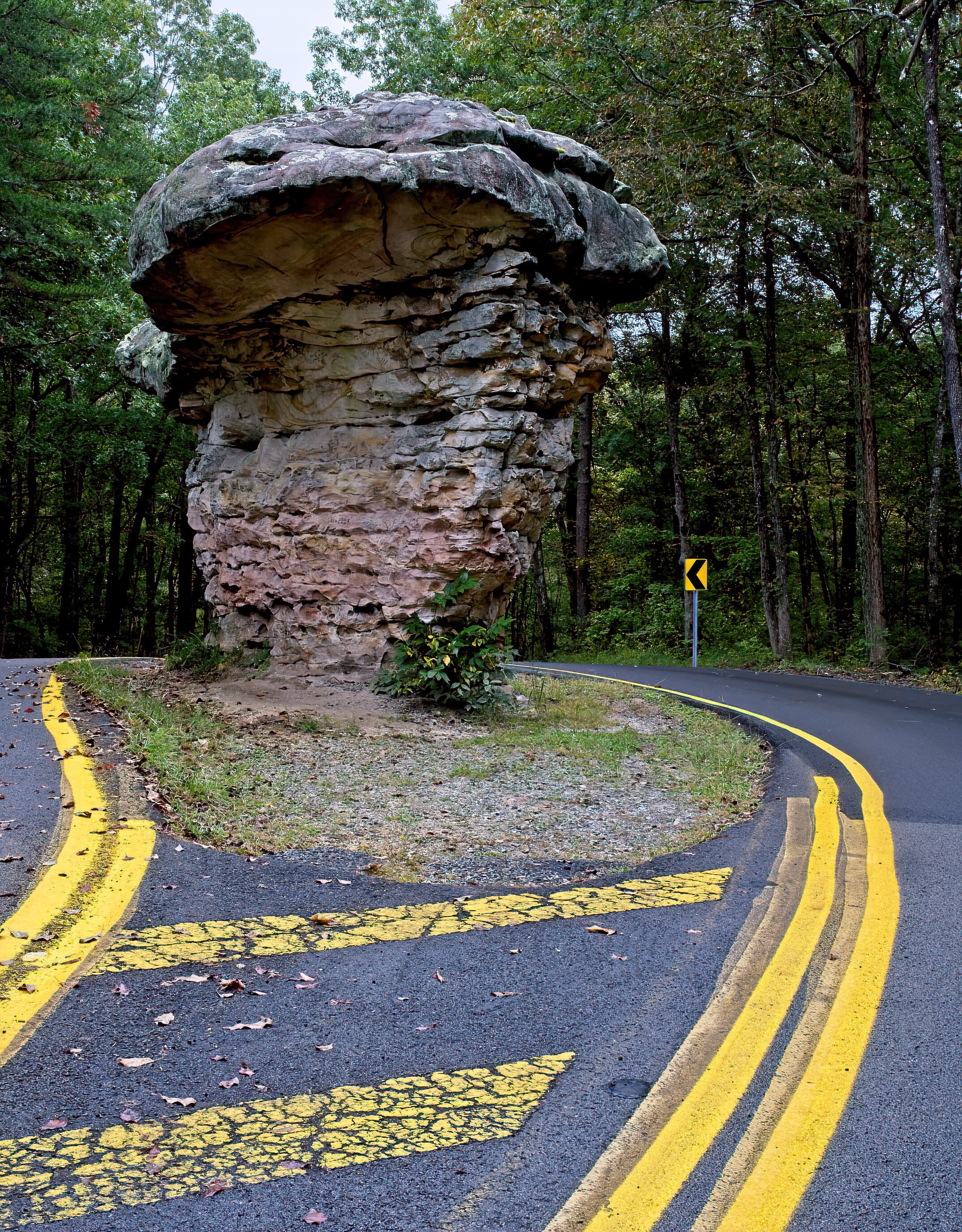

Bonus Coverage: DeSoto State Park - same water system this is just upstream from the National Park - two photos

Bass Harbor Light House /
One of the more photographed places on Mount Dessert Island, Maine where Acadia National Park makes up about 1/3 of the island. I have shot this place in the morning, evening and mid-day. Always pretty.
“Be dressed for service and keep your lamps burning, as though you were waiting for your master to return from the wedding feast. Then you will be ready to open the door and let him in the moment he arrives and knocks.” Luke 12:35, 36 NLT

Quiet Day on the Lake /
This tiny boathouse is on a lake in the DeSoto State Park in northeast Alabama’s mountains. The lake was a failed hydro-electric project when an attempt was made to deepen the lake with a high and ugly metal dam. Below the day were two different waterfalls that are an attraction to the area.

Birmingham Civil Rights National Monument /
Covering four city blocks in Birmingham, Alabama, this area has been in the National Park system only since 2017 and is the mid stages of development for visitors. The A. G. Gaston Motel, headquarters in 1963 for the local civil rights movement, will become a VC and museum.
Today you can visit Kelly Ingram Park, the center of the widely televised protests. The park is filled plaques and statues representing the struggle that took place here. Directly across the street is the 16th Street Baptist Church where a bomb set off by the KKK killed four little girls and greatly influenced the passage of the Civil Rights Act of 1964. It is a short walk to the Birmingham Civil Rights Institute - an affiliate of the Smithsonian and a partner with the NPS. Indoor sites were closed because of the 2020 health concerns. We hope to return when the VC and Institute are open.
We stayed at Oak Mountain State Park about 8 miles from town. We found camping in the Alabama state parks to be reasonable, clean, well marked and very busy. We came to Birmingham for a friend’s wedding so had no need for restaurants after the wonderful rehearsal and reception dinners. The bride recommended the huge delicious cookies from Cookie Fix.
Kneeling Ministers statue
http://www.bhamwiki.com/w/Three_Ministers_Kneeling
Birmingham Civil Rights
https://www.nps.gov/places/birmingham-civil-rights-institute.htm


Another Turn of the Calendar /
I appreciate every one of the days God has granted me and rejoice in the way He sustains and blesses. But I don’t know what happened to the stellar ball skills I once clearly possessed.

Cumberland Island National Seashore /
Cumberland Island is one of Georgia’s famous “Sea Islands” located just off the coast near St Marys, Georgia. This large island has been home to native peoples, to Spanish Missions, military forts under Oglethorpe and a place of escape and renewal for families like Nathaniel Green who settled here in his home, Dungeness, after the American Revolution. In the later part of the 19th Century the Carnegies built homes here, including the huge manor on the foundations of the original that Greene built. The new Dungeness, a 59 room, 40,000 square foot mansion, would be the home of Lucy Carnegie until her death in 1916. It was destroyed in a fire in 1959. Carnegie held 90% of the island at one time but it is now owned largely by the National Park Service.
We stayed near St Marys at Crooked River State Park about 6 miles from town, just beyond the submarine base. The park was nice, private sites and good walking trails. The covid rules were still in effect so many of the services were not available.
Cumberland Island is only available by boat and as we don’t own one, we booked on the Cumberland Queen. The ferry is $30 round trip and there were two departures per day when we were there. As at the state park, there were closures at CINS, so we were unable to see a few of the things we had originally planned. And it rained. A lot. We had about 30 minutes on island before the rain began but we were as prepared as we could be so it was not too bad. We walked a trail to the original dock, then the tree lined way to the ruins of Dungeness. Even the remaining portion of the house was impressive. The grounds around it were extensive. We then headed up the Main Street through the middle of the island to a connector to the ocean. That was a disappointment as the wind was cold and the rain much harder on the beach so we did not stay. Instead we retraced some steps and took a woodland trail and then a second, both were neat. Then to the dock to get back on the ferry. We were on the island about 4 hours. Not enough if it were all open and/or nice weather.
We did not eat in St Marys but did get an ice cream at a little shop across the street between the dock and the visitor center. The staff there were very nice and the ice cream was good.
Cadillac’s Viewpoint: Nice Moosey marshes and rain. Too far to swim, even for a champion swimmer such as myself and too many minor antler animals. Cadillac’s Elevation 3 Antlers

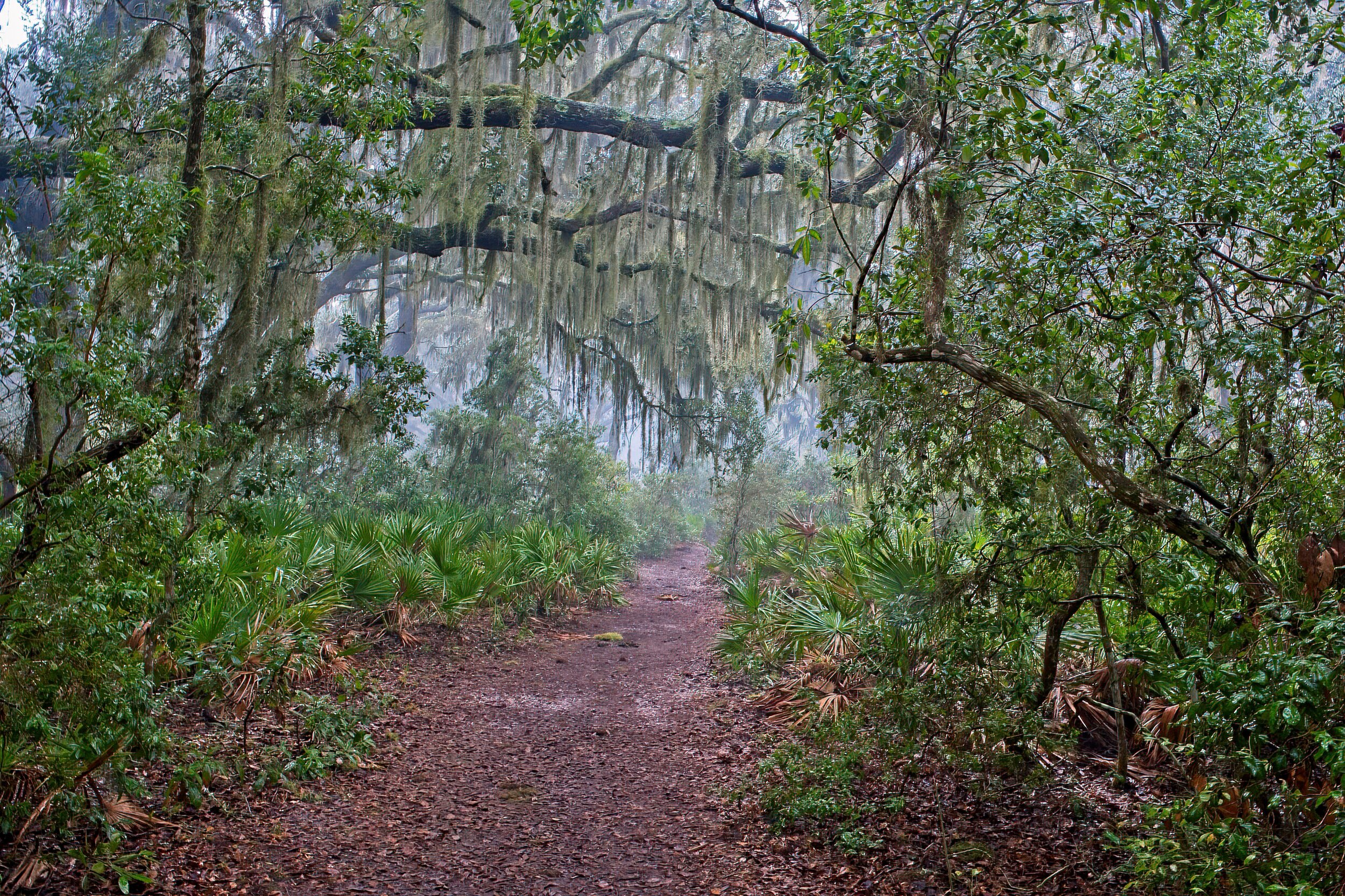
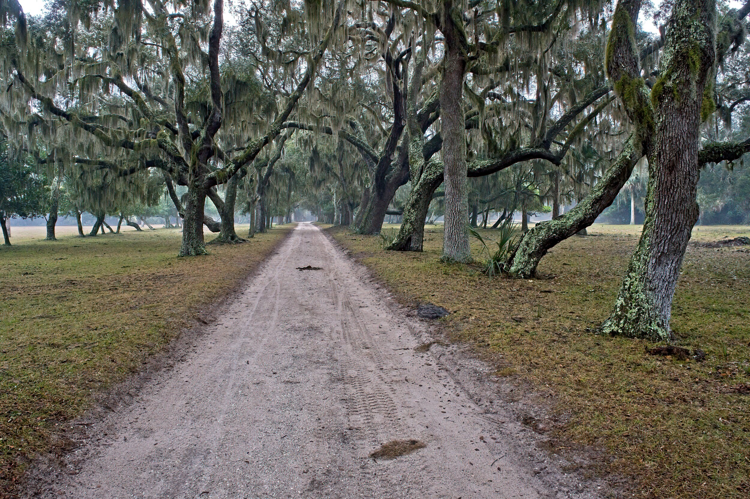
Road from the original dock to Dungeness
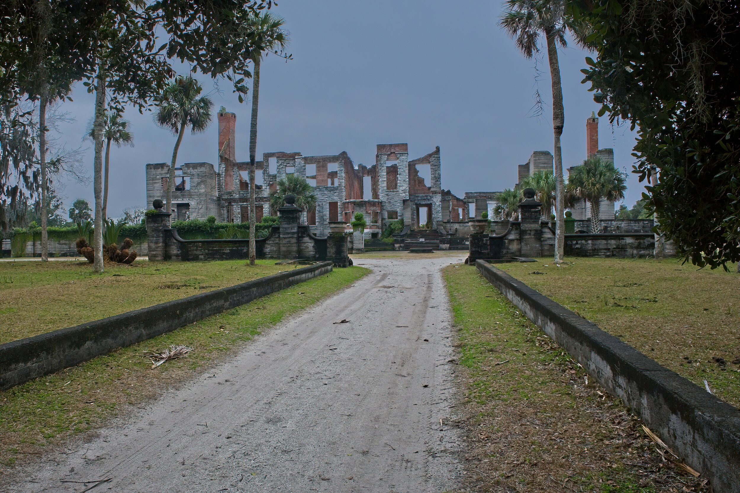
Rain any moment


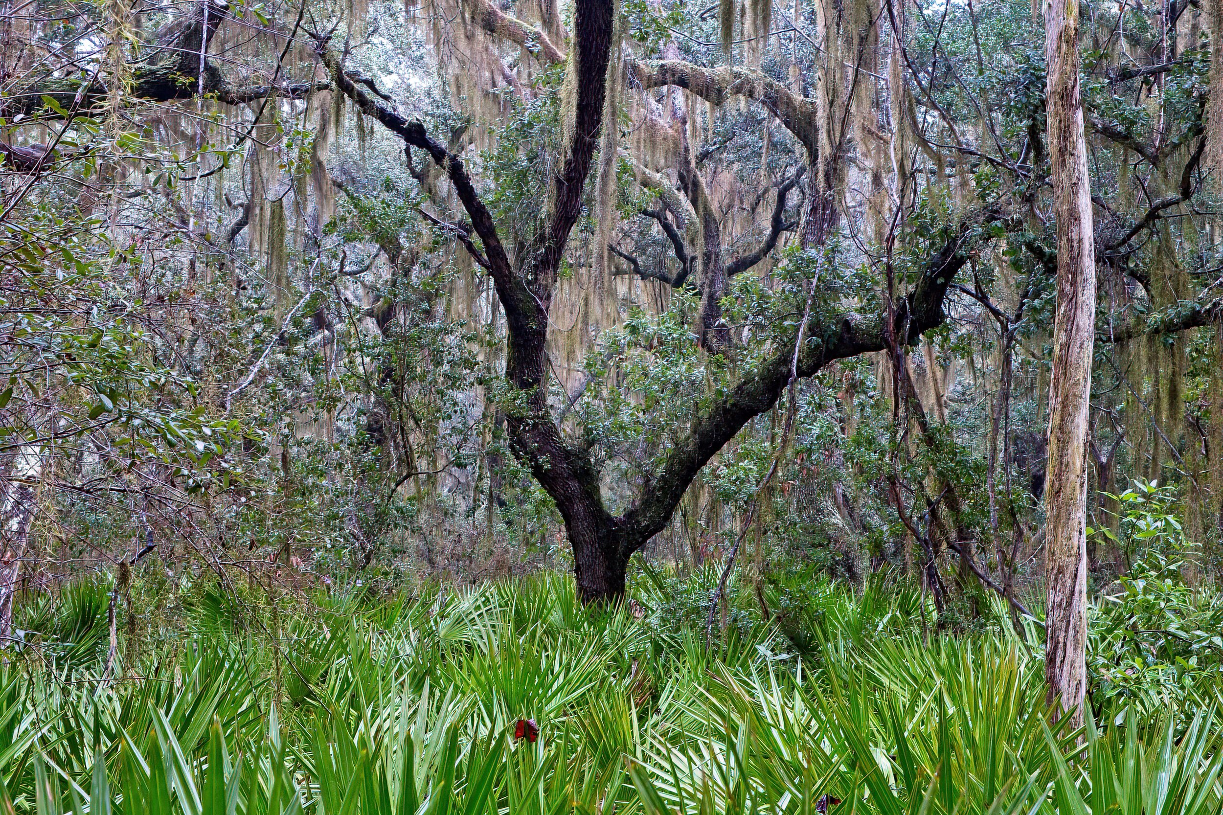
Watched a flock of Cedar Waxwings feeding, how many do you see? Most of the wildlife was hunkered down somewhere on the island.
Mr Charlton's Coffee House /
This is one of the newest buildings in Colonial WIlliamsburg a reconstruction of the original on the original site. A coffee shop here provide good conversations but no lattes. This was the site of an 19th century house that held out for decades until after the last owner who wished to live in the house died and the family briefly tried to turn it into a museum for Laura Ashley fabrics. That did not go well. CW bought and moved the house a few blocks away. This coffee shop is one you can tour and get s small (very) sample of hot chocolate. But still nice.
Mr Charlton of Cheswich PA was the baker who supplied me with donuts for my door-to-door donut route. Likely not related.

Andersonville National Historic Site (8 Photos) /
Andersonville National Historic Site 496 Cemetery Road, Andersonville, GA 31711
Andersonville is a very small hamlet located in south central Georgia. The town has given its name to the Civil War Confederate prison but the actual name of the prison was Camp Sumter.
Cindy and I stayed in the village at a small town run RV park. There were some historic buildings in the town and a statue to the commander of the prison who was executed for his oversight of Andersonville. There was nothing specific wrong with the tiny park but the whole town felt neglected and oppressive. We did not eat out in the area - restaurants were about 15 miles away.
All the prisons of the Civil War era were bad in both the north and south. Disease was rampant everywhere, not just in the prisons. However, Andersonville was the definition of horrible. A camp very poorly designed for 8,000 men, it held as many as 38,000 at one time. The conditions were hellish and the bad reputation of the place was well deserved.
There was no shelter, little food, and the same water was used for drinking, bathing and toileting - a swampy stream that slowly oozed through the middle. There were no officers held here; the men devolved into gangs that robbed one another and set the rules for their group. The death toll of 1 out of 3 would have been much worse but soon after the prison opened a torrential rain storm uncovered a small spring nick-named Providence by the soldiers. The clean water saved many lives.
There is a visitor center with a small museum, a scattering of monuments, a museum dedicated to all American POWs, a couple of wall portions that were reconstructed, and a cemetery where 13,714 of the Union prisoners who died here are buried.
https://en.wikipedia.org/wiki/Andersonville_National_Historic_Site
A personal note: In researching our family tree, my son learned that a grandfather in our line, four generations back in my case, George W. Leasure, was a prisoner in Andersonville for just under a year, almost as long as the prison functioned. He was a member of the 103rd Pennsylvania Volunteers and served from the start of the war. His unit was assigned to Eastern NC after the disastrous Peninsula Campaign. He was wounded in a short battle for control of Kinston, NC. Sent to New Bern to recover, he rejoined his unit in Plymouth. Early in 1864, Lee sent a large contingent to Plymouth to get food and other supplies for the army besieged in Petersburg. Plymouth fell, the last battle the South would win, and George was a prisoner. They marched to Tarboro where a train eventually took them to Andersonville where he stayed about 11 months. We found his record at the Visitor Center but it did not provide much information. The few details gleaned from the official history of the regiment and some government papers make me want to know more about him. He died in his 50’s about 15 years after the war ended.
Cadillac’s Viewpoint: No tasty water lilies, and major depressing subject. Cadillac’s Elevation 1.5 Antlers

There is a garden area with water features and a statue after you exit the visitor center
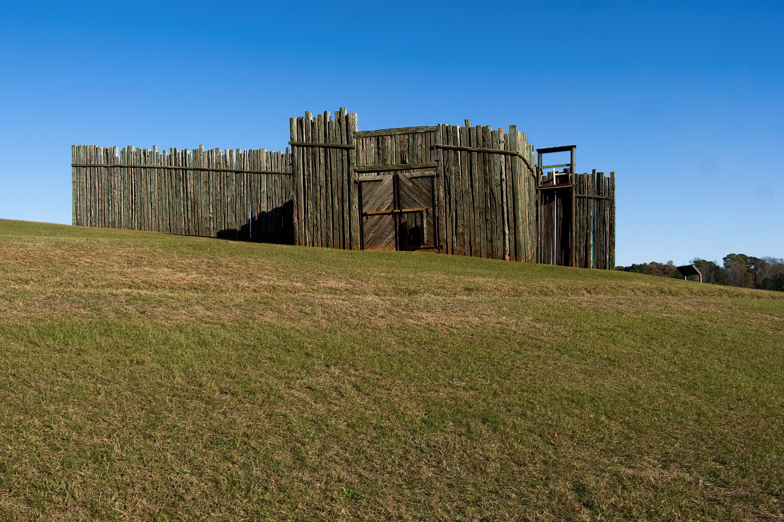
The reconstructed gate
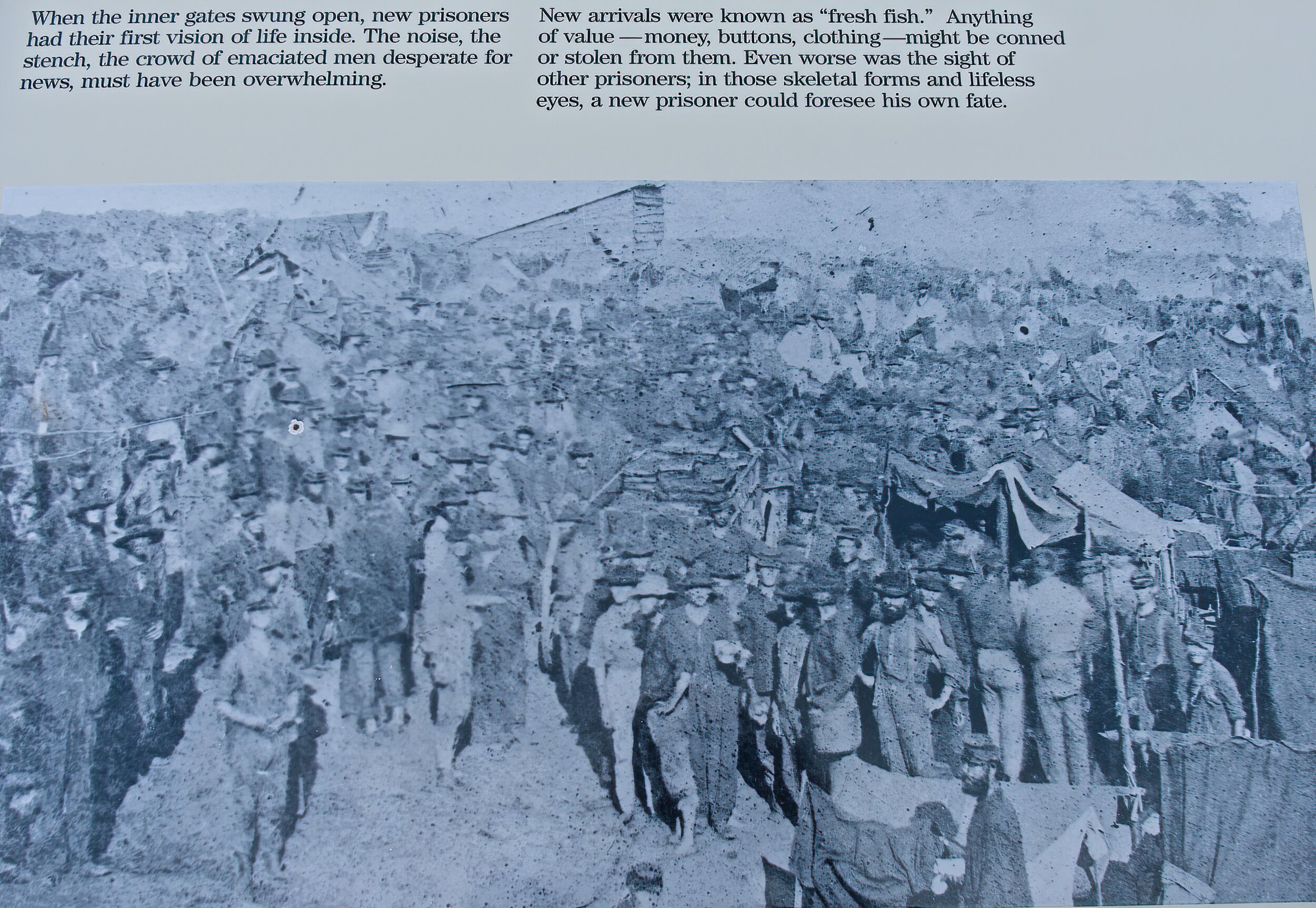
Historic Photo: What greeted you inside made one man say “Is this hell?”

The life saving spring

Shows the crude shelters that were built and the dead line you could not cross.

A scattering of monuments


The Pennsylvania monument is nestled among the 13, 700 + graves.
Goodness /
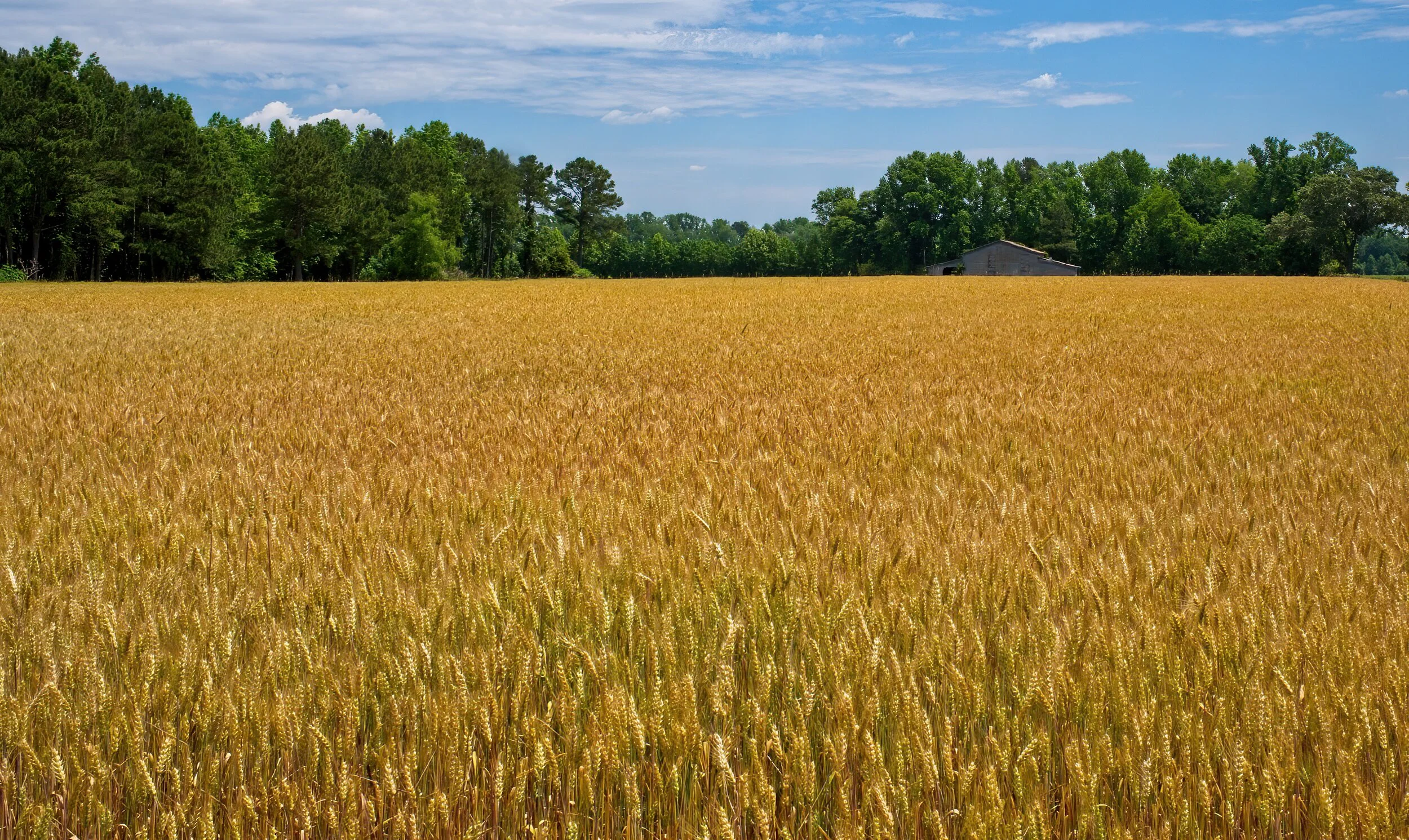
This beautiful wheat field is in Eastern North Carolina. I had an appointment at a church I had not been to before. The GPS set the route to the place near Williamston, NC. I expected to get off the primary highway at the exit for town but was directed off about 5 miles earlier. It was very rural and I made three turns in a mile or so and then off on this road for about 2 miles. I passed this field and barn and thought, nice photo and planned to go back after my meeting. Instead I turned around and made three photos - and I liked this one best. I was still on time for the meeting. Win.
Jesus replied, “I am the bread of life. Whoever comes to me will never be hungry again. Whoever believes in me will never be thirsty.” John 6:35 NLT
Frenzy /
This shot is taken along the Gulf of Mexico in Florida at the Gulf Islands National Seashore. It is a rare, for me, panorama taken at sunset as the birds were in a feeding frenzy that evening. Their calls and noise was heard over the sounds of the waves breaking on shore.

Excited /
Acadia National Park is one of our destinations this fall. We are so excited to be going back to MDI again. This shot is from the rocks at the end of Hunter Brook Trail looking toward the Cranberry Isles. Always a quiet spot away from any crowds.

Summer Dip /
About the middle of July - wading in this Smoky Mountain steam sounds refreshing.

Old Farm Machine /
This photo was taken a few years ago on Prince Edward Island in Canada. What a lovely place with spectacular views of water everywhere, old lighthouses, fishing and farming villages and so much more. Not to mention the excellent, world class, best ice cream anywhere at Cows. Of course, now that I have mentioned it - you should go!
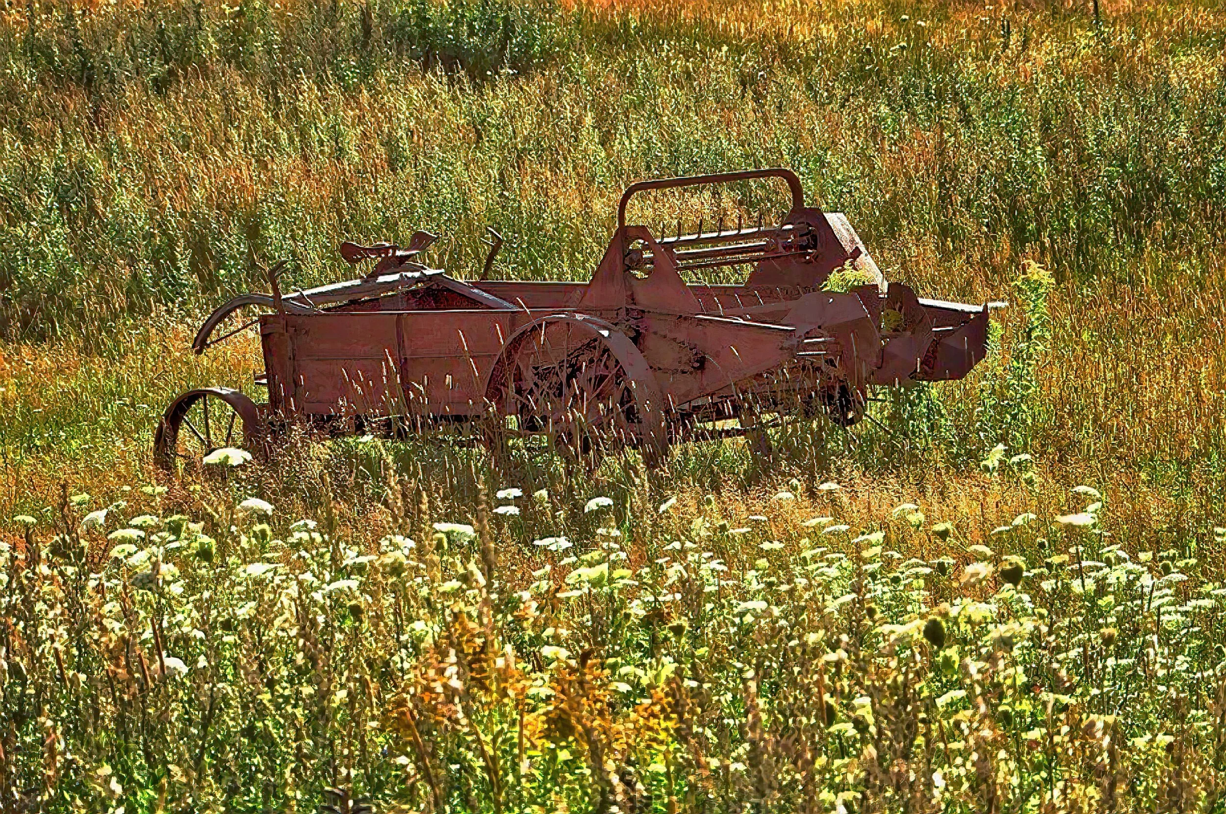
This old piece of equipment was abandoned at the edge of a marsh. I love the iron wheels.
Borax /
As a kid I watched westerns on the television in black and white. And at least one of those shows, maybe more was sponsored by 20 Mule Team Borax. I am not too sure if I ever knew what borax was or where it came from but I knew it took 20 mules to get it. I even built a plastic model of a team pulling a couple of wagons. In Death Valley National Park all that comes together for it was here that it was mined and, indeed, the heavy wagons were pulled miles by teams of mules out of the valley. Today’s photo is of a wagon set up that would require the strength of 20 mules to drag the borax to the nearest railroads. Plus a lot of water. Note the iron banded wheels and the number and size of the spokes. One of the very neat things we did at Death Valley was drive about 2 or 3 miles on an old road used by the mule teams to scale the mountains surrounding the valley.

Americana - Barn in Rural Central North Carolina /
Coming home from a hike last Friday I took the indirect route and passed this neat barn.
