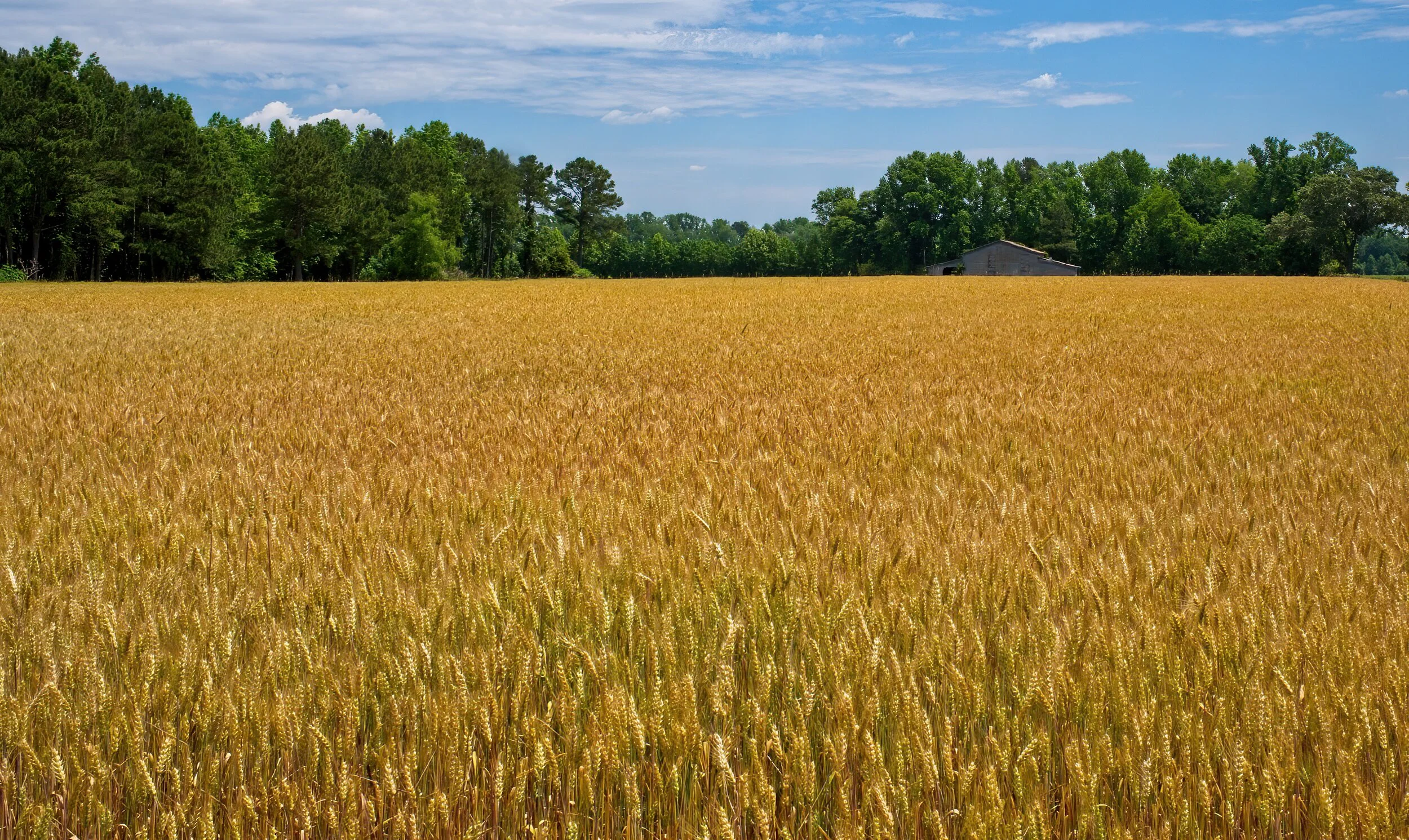
We visited two NP historic plantations whose land grants predate the US. They were farmed for nearly 300 years before being given intact to the Park Service. We were not permitted in the houses because of Covid but many of the buildings and all the grounds were open at both Oakland Plantation and Magnolia Plantation. Very intriguing places with fascinating intertwined histories.
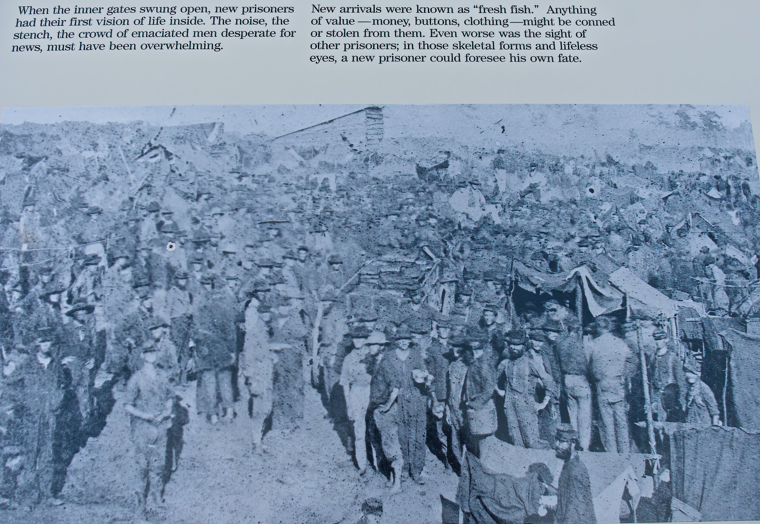
We toured the reconstructed Fort St. John Baptist with their well done museum in Natchitoches and did a walking tour of the town. Some of the “down river” private sites were not open but we still enjoyed the scenery along the Longleaf Scenic Byway and St. Augustine Catholic Church was well worth the stop.
The night before we arrived at the Cane River Creole National Historical Park was spent at a remote blueberry farm - a Harvest Host site. We arrived at Natchitoches, LA from a tiny country road that merged onto the main street along the river into a wonderful little town. Their history predated New Orleans with fabulous architecture, the French fort, the house where Steel Magnolias was filmed, and the oldest hardware store in LA - still in the original building. We camped at Pecan Orchard RV park.
We had coffee at the Story Time Cafe in town, a very good dinner at the Cane River Commissary close to the plantations and, to top things off, there was a car show in town by the river. A very nice town in a beautiful area with so much more to see. Hope we get back some day.
Cadillac’s Viewpoint: The Cane River was great, good food, good coffee, good ice cream, fancy cars and, of course, we left after two days. The Driver will never win reelection at this rate. Wait that’s a good thing! Cadillac’s Elevation 4.5 Antlers

Main house at Oakland Plantation
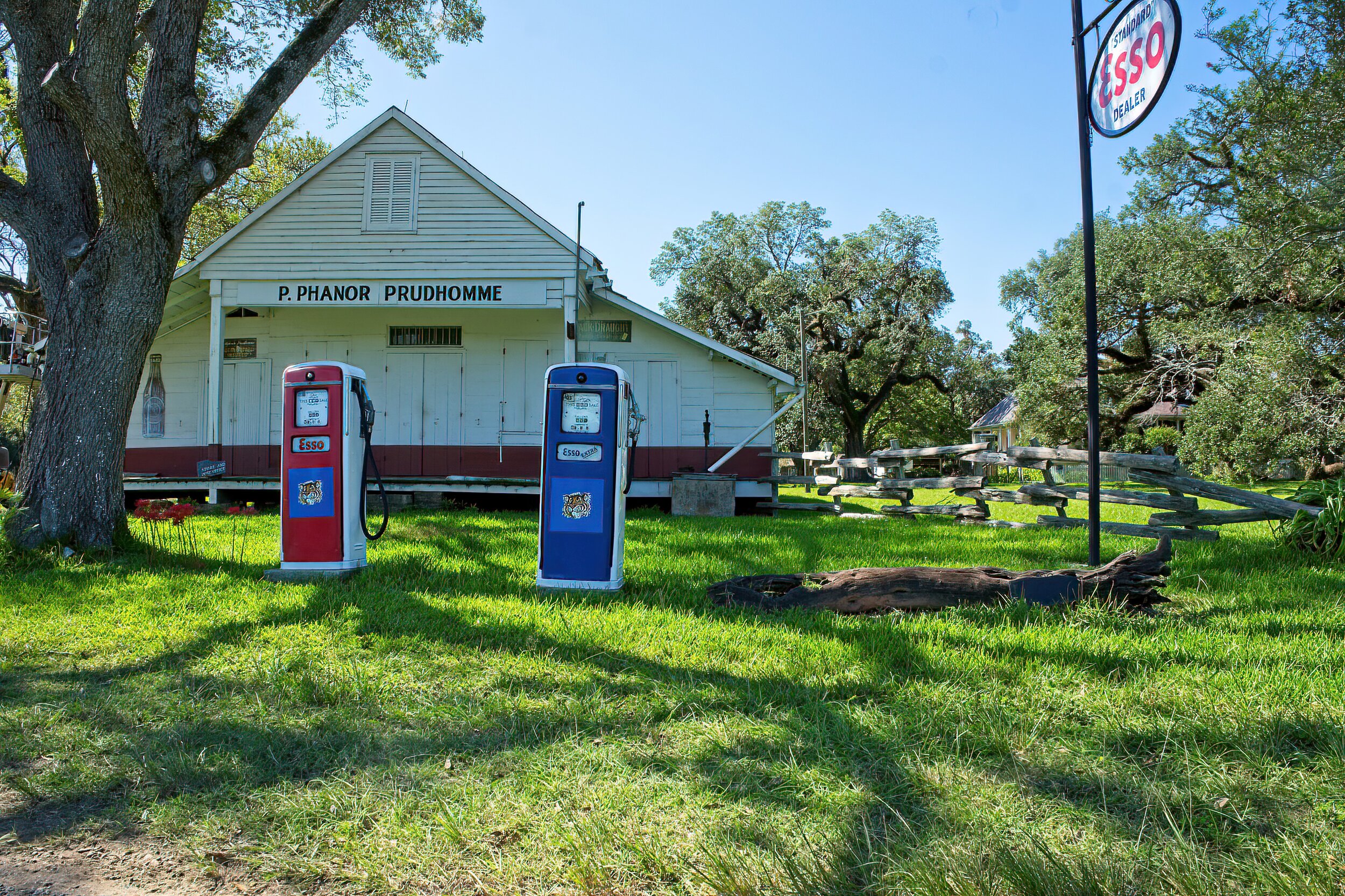
The Commissary (general store) at Oaklands

Typical high roof open shed

The overseer’s house at Magnolia Plantation, later a tenant farmer’s home until the 1970s

Enslaved person’s home at Magnolia